Biddys O'Barnes Public House, Ardinawark, Barnesmore County Donegal IRELAND. The West Donegal Railway Company opened this line on 25th April 1882, the start of it's construction having been hampered by seven weeks of snowstorm. The line closed in 1959. The Railway ran alongside a ledge built into the hillside for part of its route through the Gap. Much of the trackbed can still be traced today, and is visible to all who visit Biddys. (Extract from Biddys website 2008)
Croaghconnellagh (Conells Mountain) Barnesmore Gap, County Donegal. For older folk who believed a lot in tradition and superstition, the first train through Barnesmore was hailed as the 'black pig' and the end of the world was not far off. Little did they know that the railway service would last 77 years. It ended on the 16th September 1959.
Barnesmore, County Donegal, Ireland.
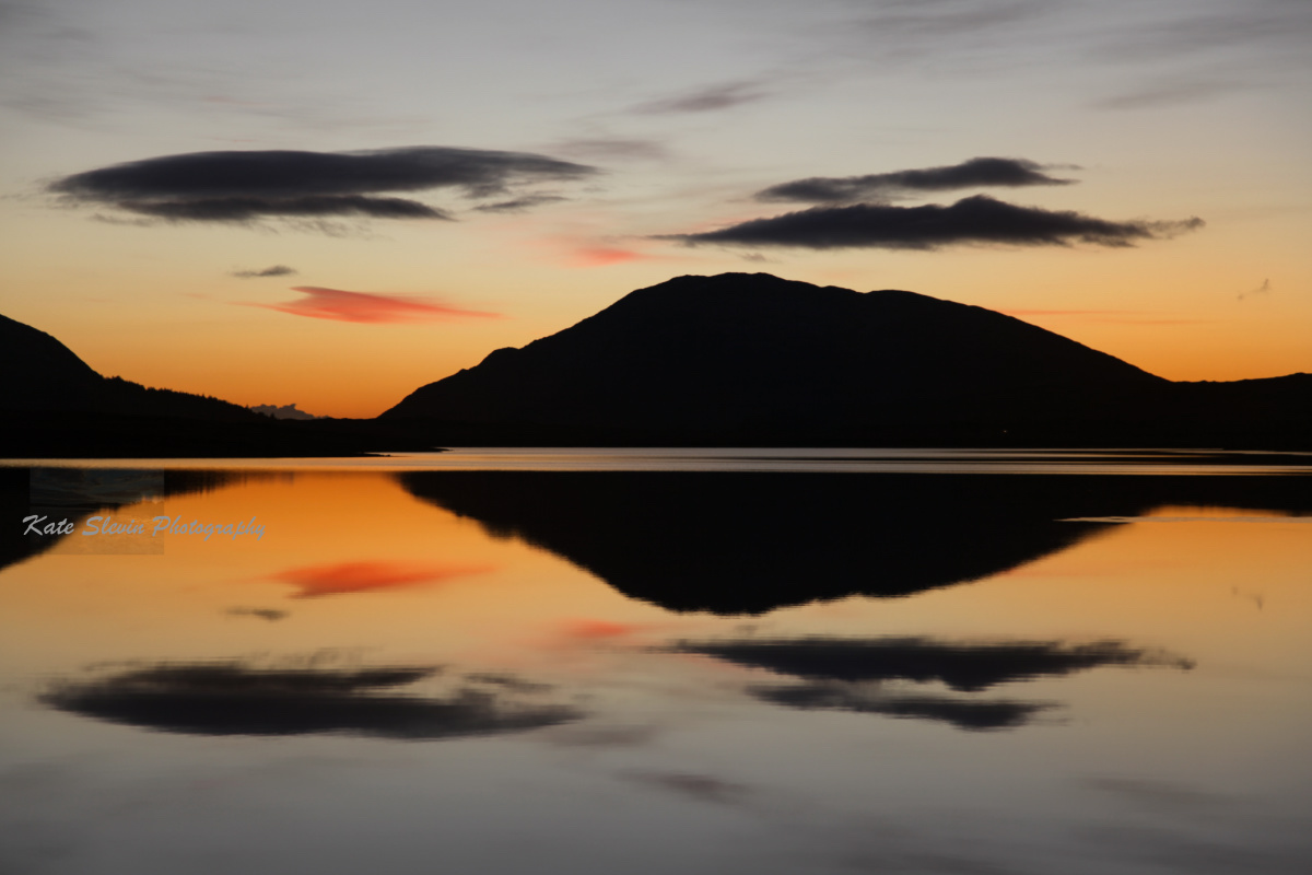
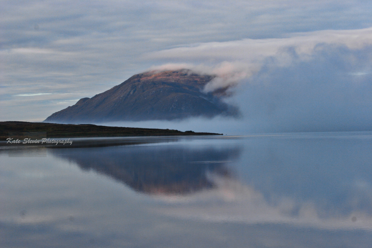
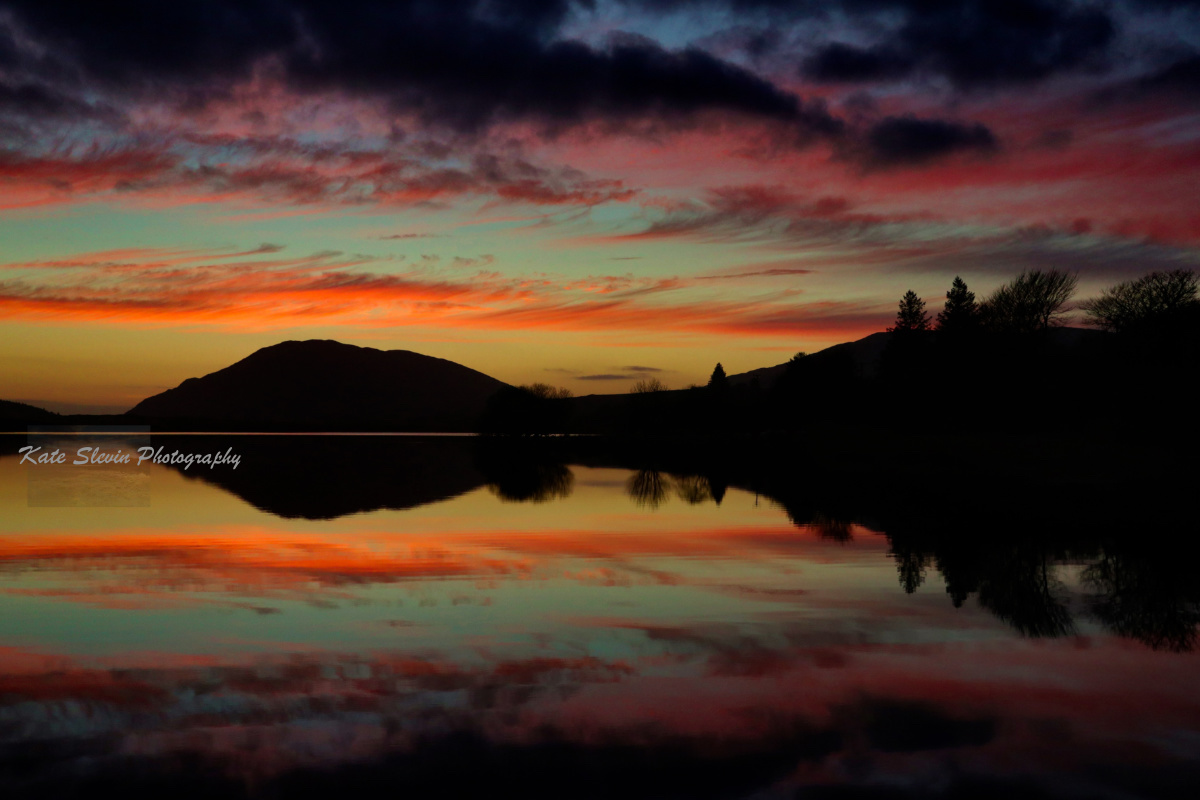
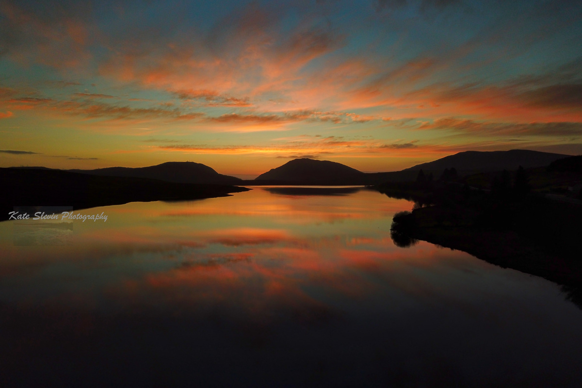
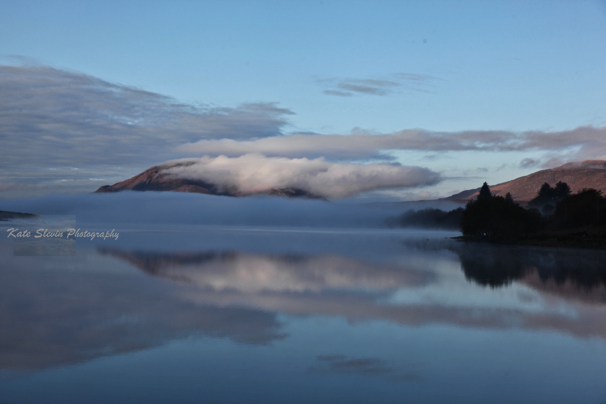
Perfect Reflection Lough Mourne, Barnesmore Gap, County Donegal, Ireland.
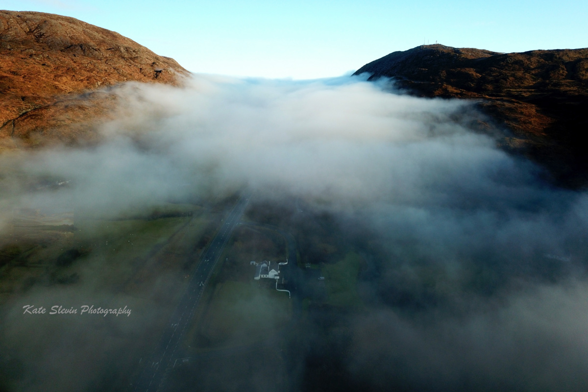
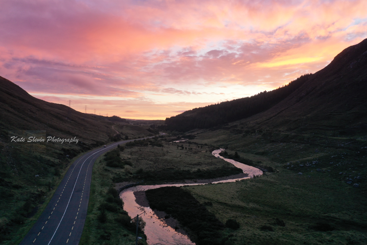
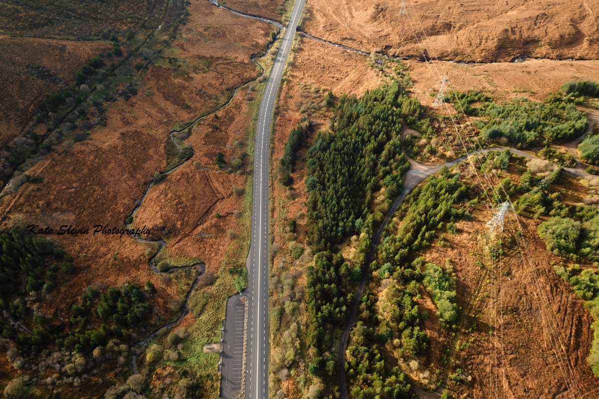
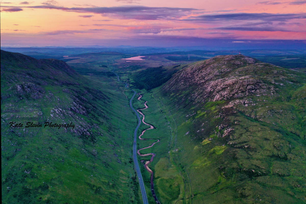
Barnesmore Gap, County Donegal, Ireland. The main Donegal to Ballybofey road, the N15, with the meandering Lowerymore River and the Old Railway Line running side by side through Barnesmore Gap.
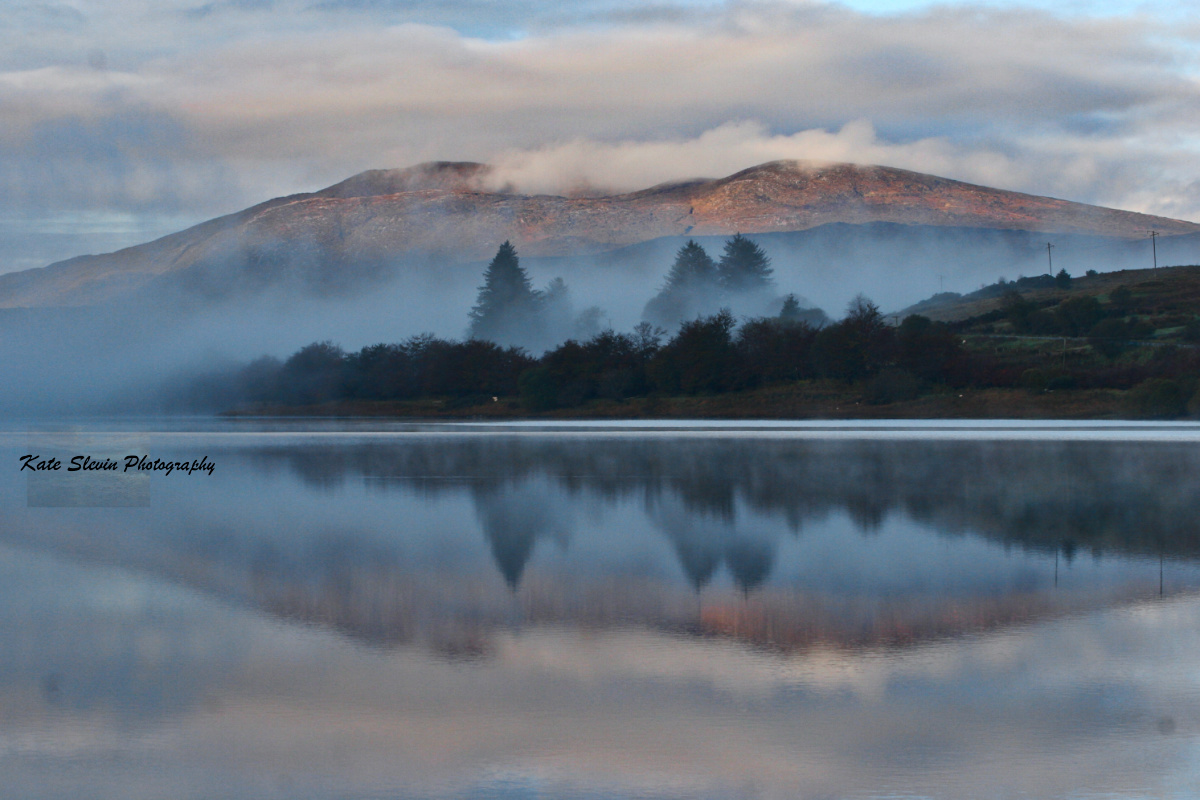
Croaghconnellagh, Barnesmore, County Donegal, Ireland. Perfect Reflection in Lough Mourne.
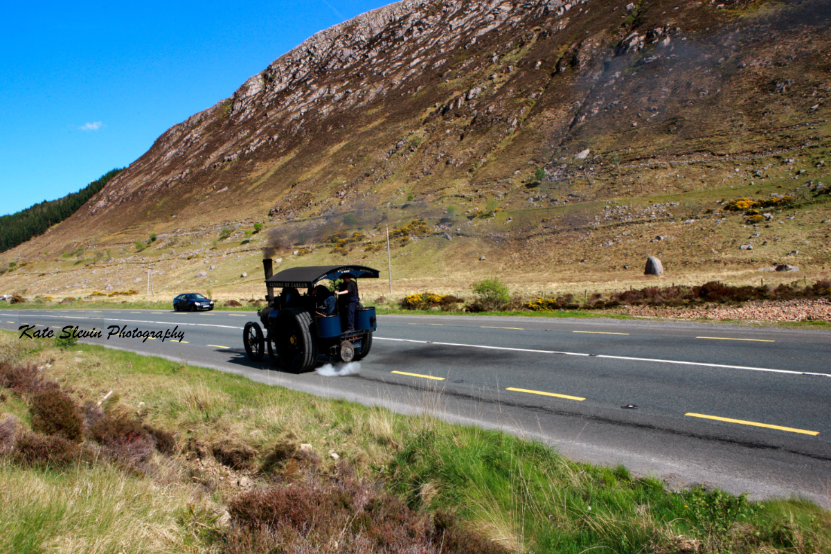
Barnesmore Gap, County Donegal, Ireland. All sorts of modes of transport. 5nhp Double crank compound road locomotive. No 1497. Built 1917. Reg No: IC 2089
Croaghconnellagh, Barnesmore Gap, County Donegal, Ireland. Croaghconnellagh Mountain or Cruach Conallach, a name in Irish meaning stack of Conall. Height: 523m
Ardnawark, Barnesmore, County Donegal, Ireland.
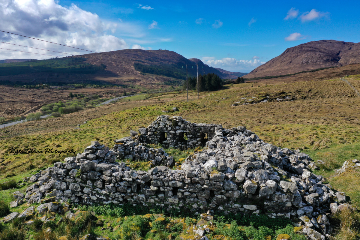
Barrack Hill, Barnesmore, County Donegal, Ireland. The photo shows what is left of the Barracks today. It is believed that the military outpost or barracks was set up about 1750. The company of Red Coats stationed here were used to patrol the Gap to keep the robbers and raparees away. The area above Barnes Bridge, became known as Barrack Hill. It is probable that this hill may have got its name from the Red Coat Barracks which was abandoned around 1800 when a more substantial Red Coat Barracks was set up in Stranorlar. At Barnesmore Gap in Barnesmore, Donegal, Ireland.
Croaghconnellagh, Barnesmore County Donegal IRELAND Also known as Conall's Mountain, with a perfect reflection in Lough Mourne. In Irish it means Stack of Conall. Height: 523m
Barnesmore Gap, County Donegal, Ireland. The main Donegal to Ballybofey road, the N15, with the meandering Lowerymore River and the old railway track running side by side through Barnesmore Gap County Donegal
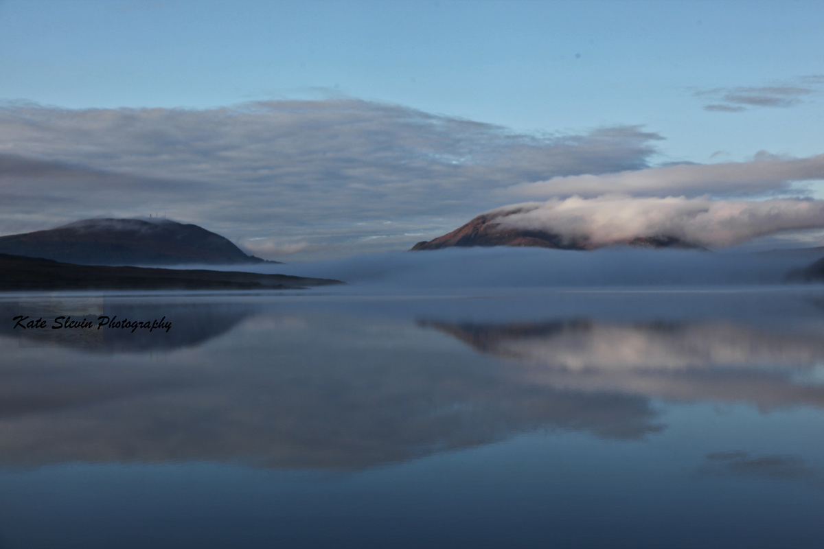
Lough Mourne, County Donegal, Ireland.
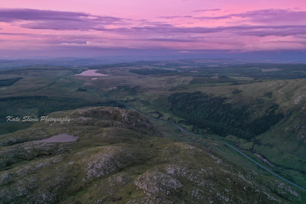
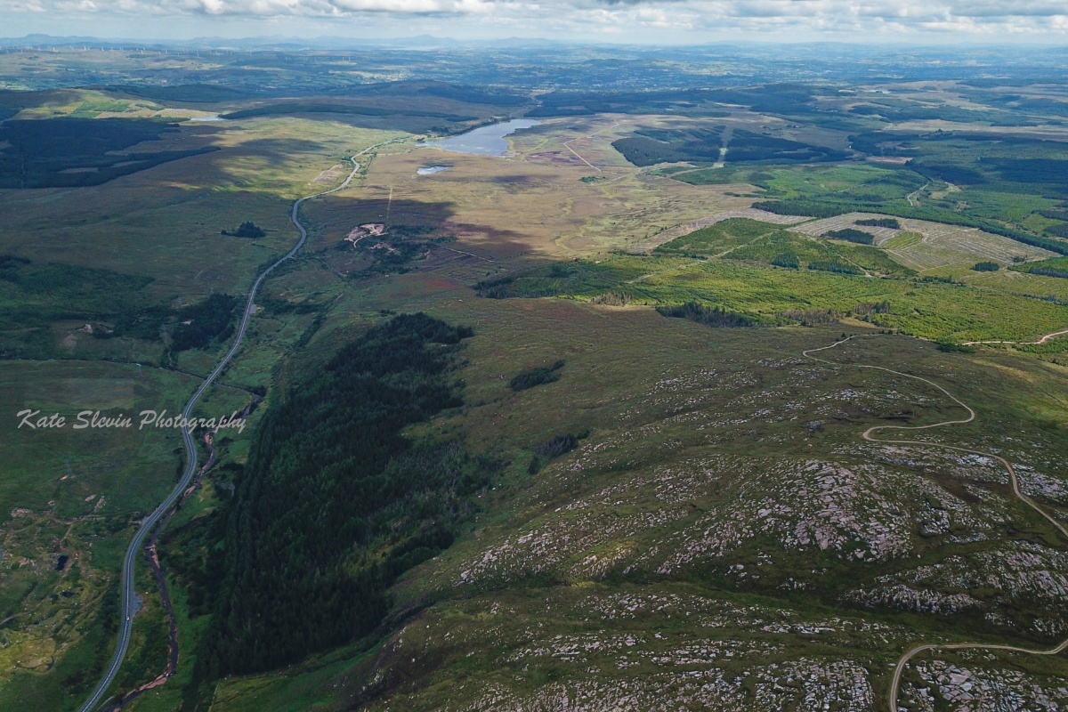
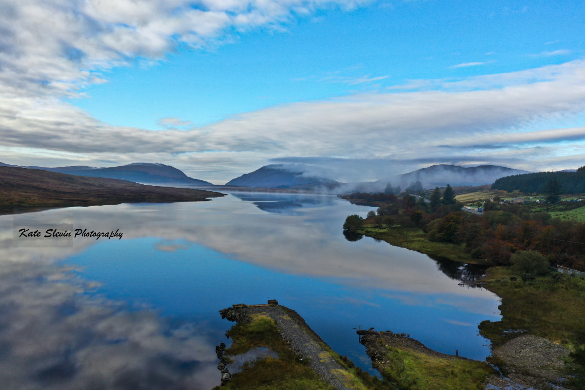
Lough Mourne and Barnesmore Gap County Donegal. The Blue Stack Mountains, also called the Croaghgorms (In Irish, na Cruacha Gorma, meaning "the blue stacks"), are the major mountain range in the South of County Donegal, Ireland. They provide a barrier between the south of the county, such as Donegal Town and Ballyshannon, and the towns to the north and west such as Dungloe and Letterkenny. The road between the two parts of the county goes through the Barnesmore Gap.
Lough Mourne, County Donegal, Ireland.
Croaghonagh, Barnesmore, County Donegal, Ireland. Also known as Owen’s Mountain with the N15 at Barnesmore Gap County Donegal
Croaghonagh and Croaghconnellagh, Barnesmore, County Donegal, Ireland.
Croaghconnellagh, Barnesmore, County Donegal, Ireland.
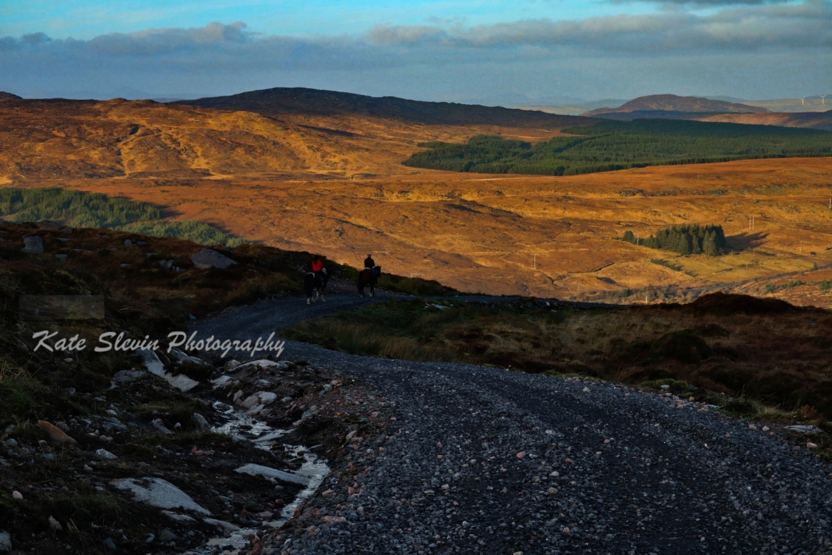
Barnesmore Gap, County Donegal, Ireland.
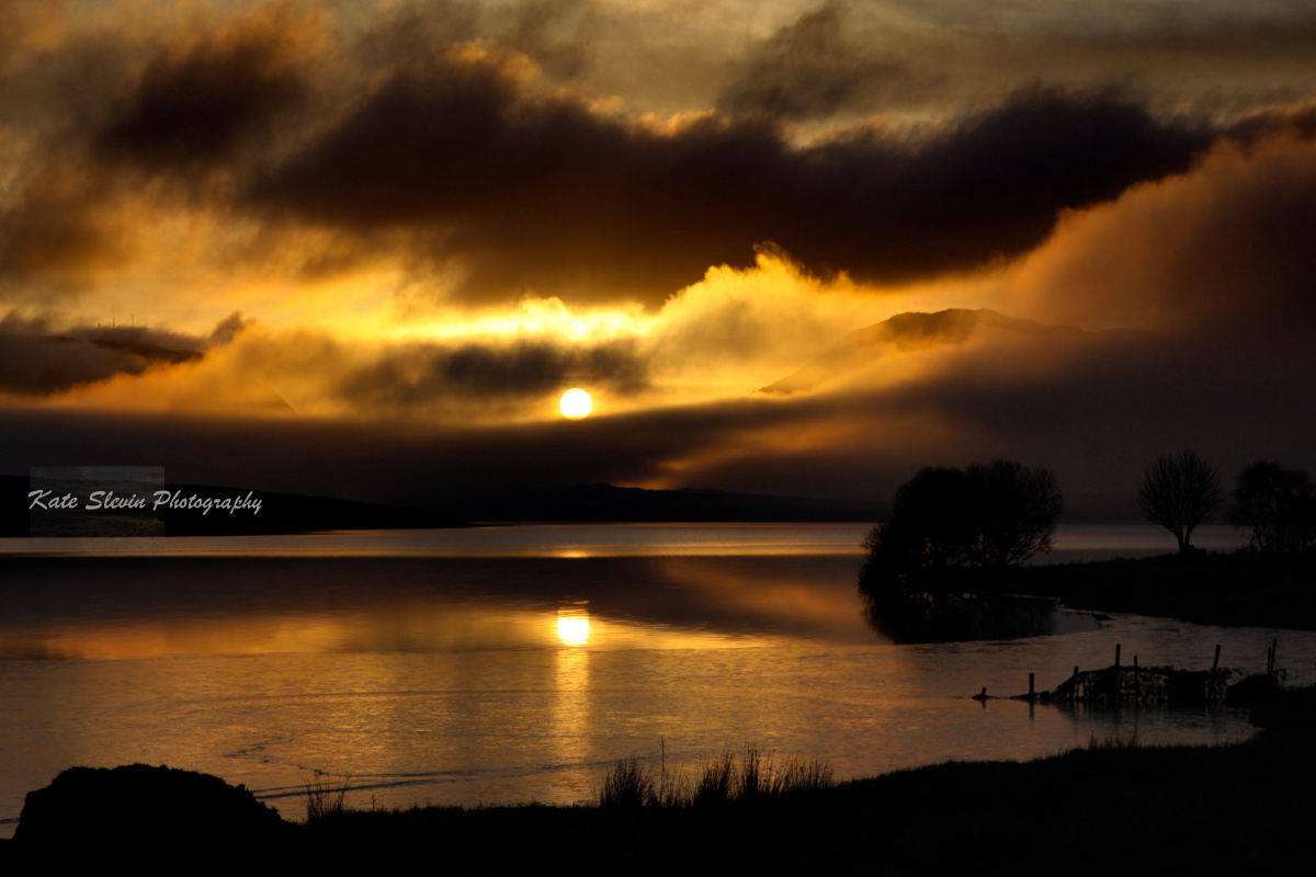
Barnesmore Gap and Lough Mourne, County Donegal, Ireland.
Croaghonagh, Barnesmore, County Donegal, Ireland. Croaghonagh Hill or Cruach Eoghanach a name in Irish 'stack of the Conal Height: 451m. The communication masts reside on the summit.
Barnesmore Gap, County Donegal, Ireland.
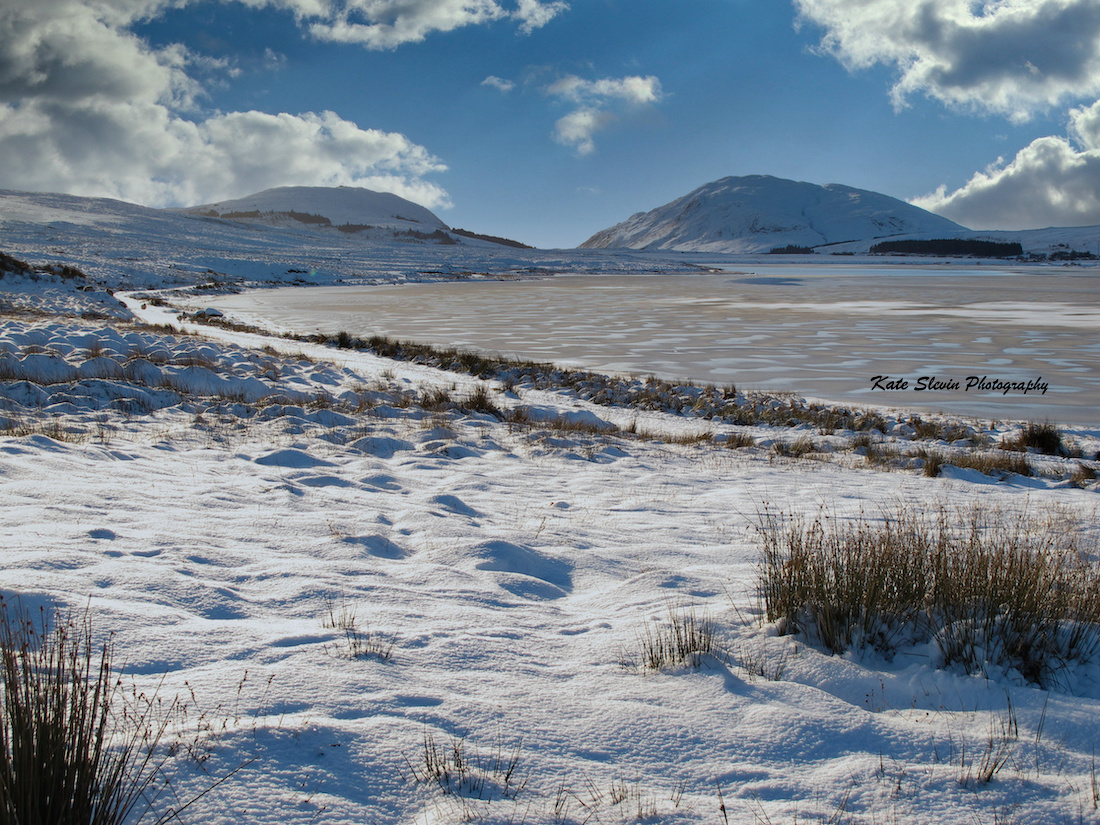
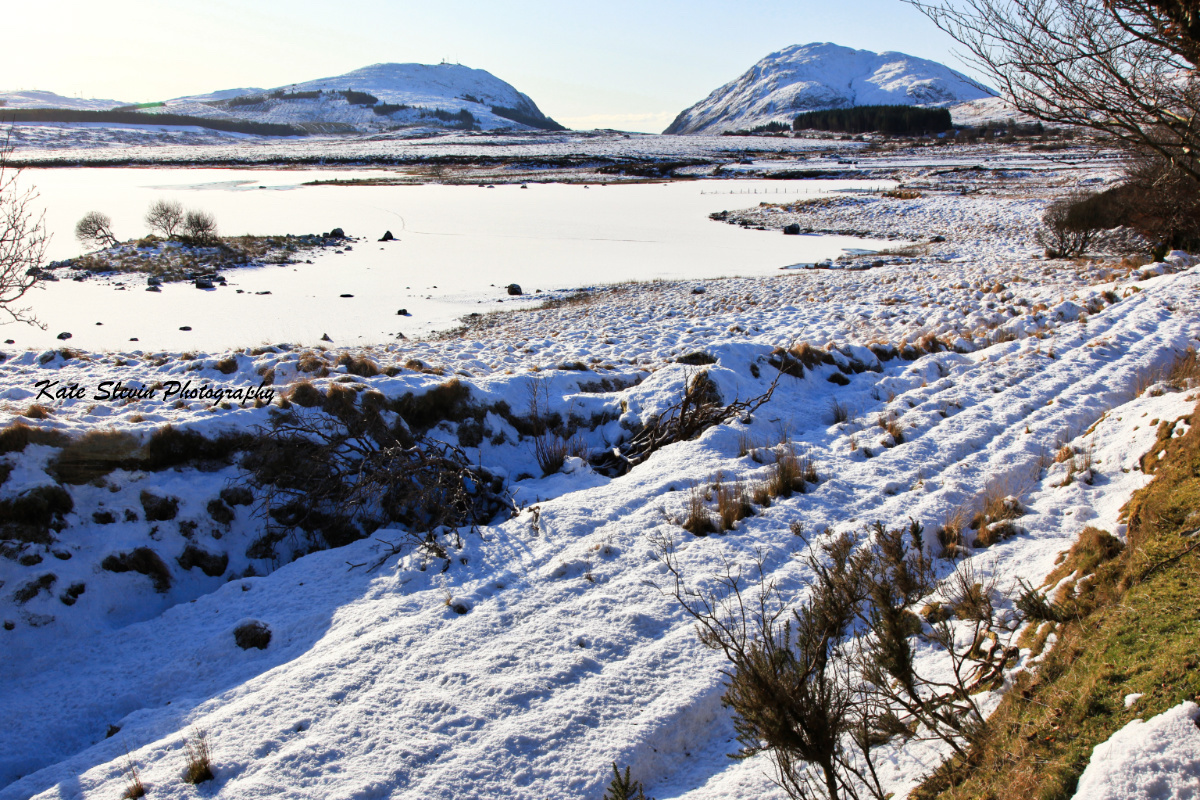
A frozen Lough Mourne at Barnesmore, County Donegal, Ireland.
Biddys O'Barnes Public House, Ardnawark, Barnesmore, County Donegal, Ireland.

